NPSO 2012 Annual Meeting
Field Trip - Thomas Howell Drive-Babyfoot Lake, a Botanical Adventure

Lee Webb
Description
Leaders: Linda Ann Vorobik (Principal Illustrator for the Jepson Manual) and Jill Pade
Difficulty: Car botanizing up T. J. Howell Botanical Drive and beyond, and moderate 2.4 miles round trip hike to Babyfoot Lake.
Altitude Gain: Driving, 1300’-4345’ - hiking about 400’ elevation change (Trailhead at 4345’ – Lake at 3971’).

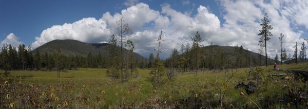
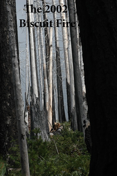
Description: This is a fabulous survey trip of both on- and off-serpentine, and burned versus unburned areas of the 2002 Biscuit Fire of Josephine County. We begin with a car trip, stopping first to look at plants and habitat of the Days Gulch Darlingtonia fen, then make several stops on our way up to the trailhead for Babyfoot Lake.
Floristic Highlights: Darlingtonia fen with Cypripedium californicum, Lilium bolanderi, Asclepias cordifolia, Asarum marmoratum, Pellaea brachyptera, Cephalanthera austinae, Penstemon davidsonii, P. rupicola, Stenanthium occidentale, and many, many more!
General Driving Directions: Meet at Deer Creek Center, carpool south on Highway 199, turn right on Eight Dollar Mountain Road (County road 5240 to Forest Service road 4201 to spur road 140). GPS location: N42° 13.475’ W123° 47.579’
Appropriate Foot wear: Sturdy shoes or hiking boots.
Group Size Limit: 15
Time: 8:00am from Deer Creek Center to 4:00 pm (leave Babyfoot Lake parking lot)
RT Mileage: 40 miles

If you have questions that aren't answered here, send email to annualmeeting12@siskiyou.npsoregon.org.


